Venture beyond the cityscape and explore the picturesque rural areas of Hong Kong. MacLehose Trail Stage 2, recognized by National Geographic as one of the world's "20 dream trails," offers hikers a wealth of natural attractions to admire.
Breathtaking Views Await
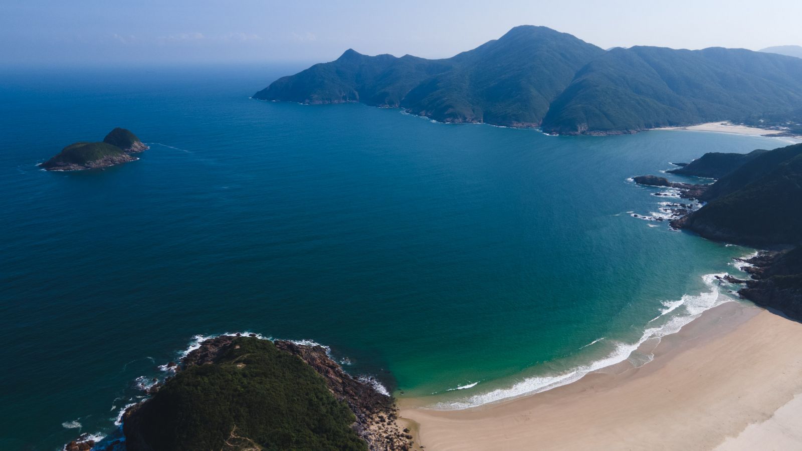
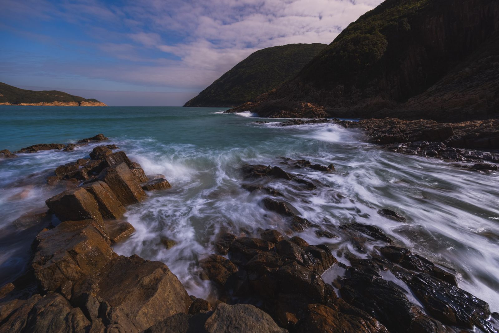
Plan your route wisely to make the most of the stunning coastlines, beaches, sea caves, and hexagonal rock formations in Sai Kung's beautiful peninsula. The 13.5km trail can be challenging for beginners, with its undulating slopes and considerable length. Ensure you're in good physical condition to tackle this trail, which can take around 5 hours (excluding rest) to complete. Confident hikers can begin at the High Island Reservoir East Dam.
Direction to Starting Point
A taxi is the only means of transport to the trailhead, costing around HKD 100 from Sai Kung City Centre. Aim to depart early, ideally by 9am, to ensure ample time for completion before dark and to tackle the hardest parts before noon. After a 30-minute ride, you'll arrive at the East Dam Pavilion. Take a moment to capture some photos of the mesmerizing scenery, with the South China Sea to your right and the reservoir to your left. There's only one entrance to MacLehose Trail Stage 2.
The First Deserted Beach - Long Ke
A 30-minute downhill walk brings you to Long Ke, the first beach on the trail. This secluded spot offers a tranquil escape, with the sound of waves crashing against the shore.
Stay on the path and keep an eye out for distance pillar "M021," indicating the start of your ascent to Sai Wan Shan (316 meters). Take a break at the pavilion, but conserve your water supply, as there's still a long way to go.
The Best is Yet to Come - Sai Wan & Ham Tin Wan
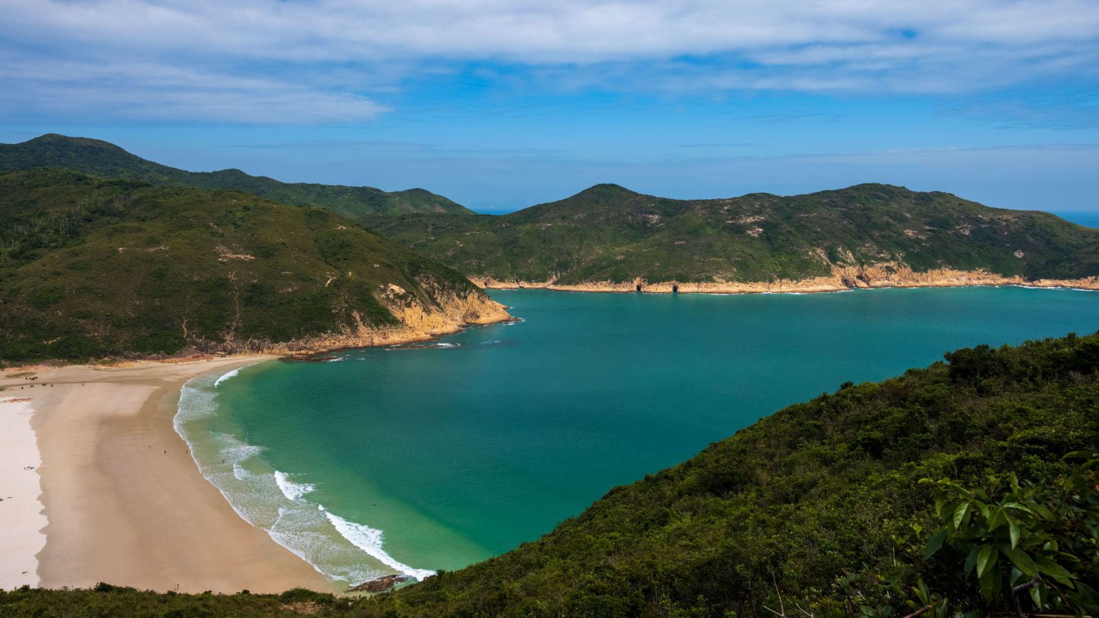
Upon reaching Sai Wan Shan's summit, the trail becomes easier. After another 30-minute hike, you'll arrive at an intersection, where you can either continue or leave the trail. If you're too tired, turn left for shuttle bus NR29 back to Sai Kung City Centre (check the schedule). Otherwise, turn right to continue the trail to Sai Wan Beach, a busier and more developed area. Stock up on food and water at the stores before heading to Ham Tin Wan.
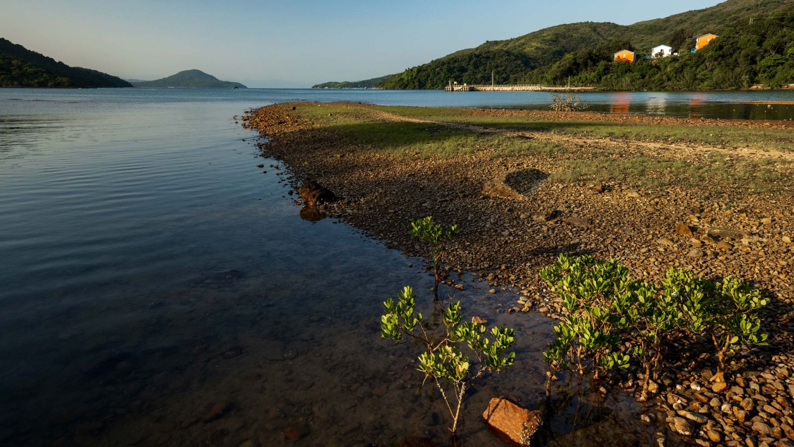
After an hour's hike, you'll reach Ham Tin Wan, the longest (and last) beach on the trail. Take time to enjoy the beach before returning to the city. From here, it's roughly another two hours to Pak Tam Au, where you can catch a bus back to the city.
Recommendations:
- Plan your route wisely and aim to arrive in Sai Kung by 9am.
- Bring enough water, at least 2.5L.
- Pay attention to distance pillars "M0XX," where XX is a number from 21 to 48. Each pillar is 500 meters apart, allowing you to track your progress toward the end of the trail and transportation back to the city.
- If you're only interested in visiting the beach, consider reading the Sai Wan Beach article (link) instead.

A HONGKONGER named Eric, is a writer and traveler, but simultaneously the clairvoyant in the city discovering its beauty people barely know.


30 minutes from Sai Kung Bus Terminus
ALL HOURS
For the best experience, reach to Sai Kung Bus Terminus by 9:00 AM and take a taxi to East Dam Pavilion (東壩凉亭)
Sun
ALL HOURS
Mon
ALL HOURS
Tue
ALL HOURS
Wed
ALL HOURS
Thu
ALL HOURS
Fri
ALL HOURS
Sat
ALL HOURS
Need to climb up mountains
Bus 92 or 96R runs from Diamond Hill MTR Station Exit C2 to Sai Kung Bus Terminus, the journey will take approximately 60 minutes.